The tenure of Goodwater Ranch is in a long narrow strip of rangeland being between two and four miles wide (north to south) and twelve miles long (east to west) with Arizona State and BLM lands being mixed with large areas of open range for use as adverse grazing. These are private lands owned by numerous different landowners, some with scattered houses on the property. The range is considered open range or adverse grazing as the properties are available for grazing use while not fenced. The northern boundary of the ranch is I-40 and the south boundary is the Santa Fe Railroad. The dominating topographic feature is the Puerco River lying adjacent to the railroad. The ranch is mainly rolling grassy hills with wide sweeping draws falling southward to the river bottom. Elevation ranges from 5,300′ to 5,800′, and the Headquarters situated at 5,400′. Topography is sloping to rolling to mesas. Vegetation is Plains & Desert Grassland.
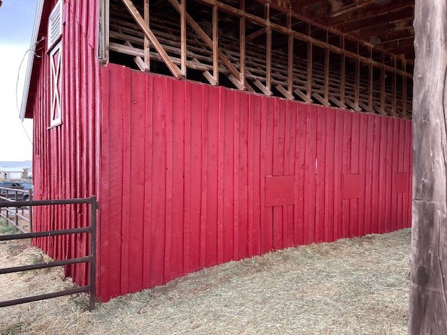
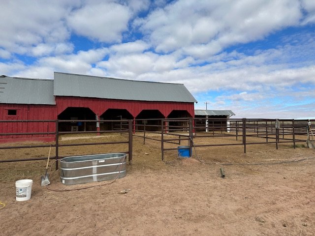
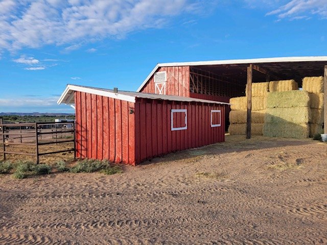
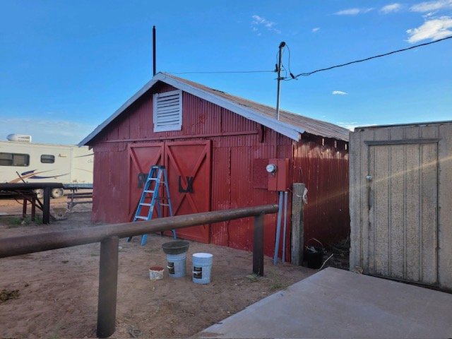
There are 347 acres of private land on the ranch with the majority being located in one contiguous block around the headquarters of the ranch near the center of the grazing area and directly adjacent to the railroad. The headquarters site includes approximately 100 acres of fallow farmland which was historically watered by two irrigation wells. The farm has been fallow for over thirty years and the condition of the well equipment is unknown. Headquarter building improvements include:
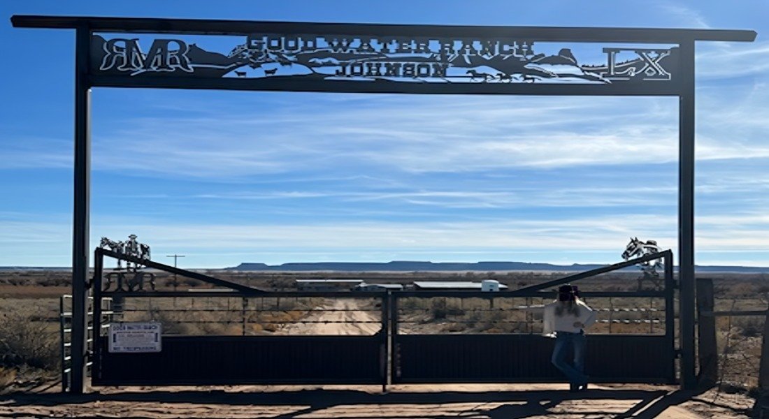
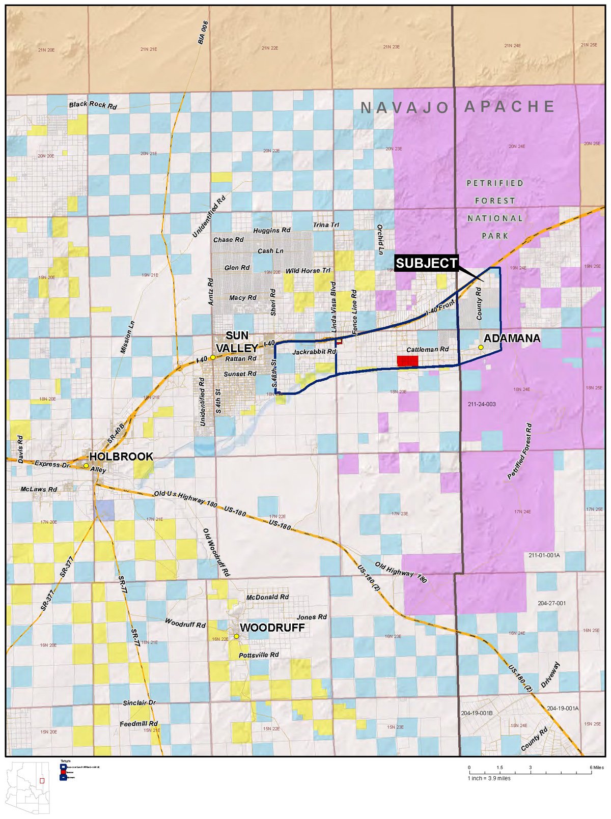
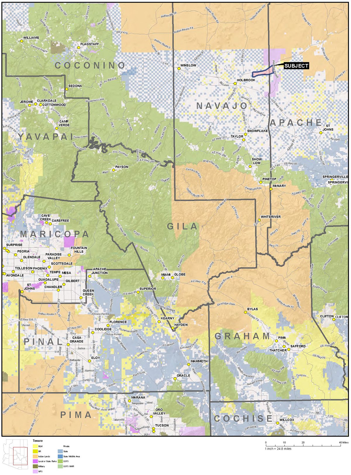
The ranch is located eight miles east of Holbrook, Arizona directly south of and adjacent to Interstate 40 and stretches from two miles east of the Sun Valley exit, east to the Petrified Forest National Park. The Headquarters is located seventeen miles northeast of Holbrook, and is accessible beginning at Exit #289 on Interstate 40 in Holbrook, travel eastbound 13.5 miles to Exit 303 (Adamana Rd), stay on south side of I-40, turn east on Adamana Road (frontage road), travel east 0.1 miles to Sun Country Road (dirt), turn south and drive 1.2 miles then turn east on Cattlemen's Road. Drive east 0.7 miles to sign reading 'Goodwater Cattle Co.' turn south and travel 0.3 miles to locked gate and ranch headquarters site.
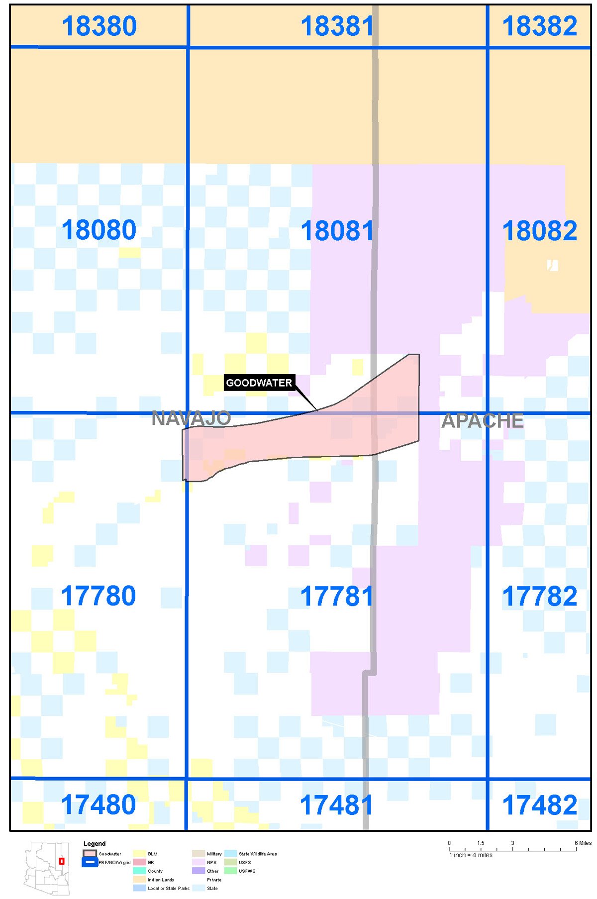
Land TenureAcresSections% of Total
| Deeded acres | 347.28 | 0.54 | 1.90% |
|---|---|---|---|
| State Lease | 3,2380.80 | 5.05 | 17.66% |
| BLM Lease | 640.00 | 1.00 | 3.50% |
| Adverse Use | 14,080.00 | 22.00 | 76.95% |
| Total Ranch | 18,298.08 | 28.59 | |
Domestic water is supplied by private well. Livestock water is provided by wells, stock ponds, pipeline with water troughs and intermittent water in Lithodendron Wash and the Puerco River. Irrigation water to the fallow farmland was supplied by two non-exempt wells. See the Arizona Department of Water Resources registration information listed below:
Reg. No.CadastralWell typeDepthCase Dia (in)WaterGPMPump Data Available
| 618457 | A18023011CCB | Non-exempt | 0 | 12 | 0 | 500 | NO |
| 618458 | A18023011CCB | Exempt | 0 | 0 | 0 | 0 | NO |
| 915017 | A18023006CBB | Exempt | 160 | 6 | 42 | 0 | NO |
| 618456 | A18023011CCB | Non-exempt | 0 | 12 | 0 | 500 | NO |
Tours-Navajo-Trail association: Deep soils on floodplains; Palma-Clovis association: Deep soils on old alluvium on uplands; and Rough broken and stony land - Rock outcrop association: Very steep stony land and sedimentary rock outcrop on uplands.
The subject deeded lands are contained within the boundaries of the FEMA flood map #04017C3400E. Nearly all of the property is located within flood Zone A which is a special flood hazard area, subject to flood inundation by the 1% annual chance flood, no base flood elevations determined. This area includes the building sites, all buildings are located within Zone A.
Navajo County zoning on the property is Agriculture General. This is the county's general rural zoning that allows for a wide variety of uses such as single family residential on minimum lot size of one acre, farms, corrals, golf courses, plant nurseries, and some commercial. It includes the largest percentage of acreages in the county and is considered to be a holding zone until a higher use is approved.
Telephone and electrical service area available to the headquarters site.
Ranch is being sold ‘turn-key’ and includes the following personal property:
All ranch related improvements including wells, pumps, pipelines, storage tanks, drinkers, pipelines, corrals, panels, gates, etc.


Copyright © Rocky Mountain Ranches 2023. Designed By AWP
 602-300-8176